The La Niña weather pattern is here to stay, here’s what you need to know

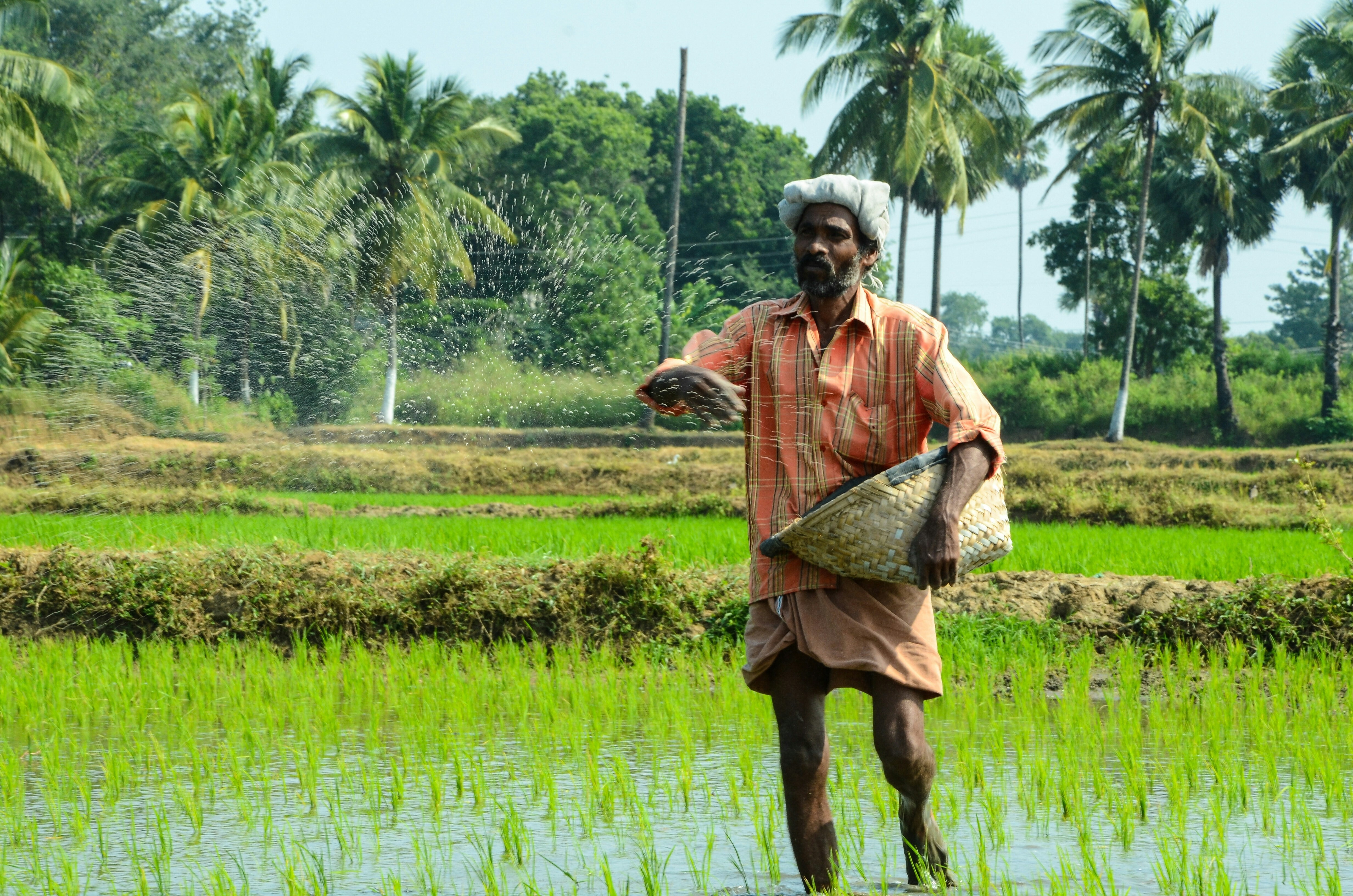
The weather phenomenon La Niña is back for a second year. Image: UNSPLASH/Ran Zhao
Listen to the article
- La Niña is a weather pattern that occurs in the Pacific Ocean.
- It changes ocean temperatures, causing severe weather conditions.
- The “cold event” causes winter temperatures to soar in the south but cool in the north.
- Climate-sensitive sectors like agriculture, health, water resources and disaster management are likely to be affected.
- At the same time, climate change is also exacerbating extreme weather conditions and making conditions challenging.
Severe storms and flash flooding are on the cards for a second year in a row with the confirmation of the return of the weather phenomenon, La Niña.
La Niña and its more famous counterpart El Niño move back and forth across the Pacific Ocean every few years. The phenomenon changes the temperatures of surface waters and the state of the atmosphere, leading to severe weather conditions for many.
The last La Niña caused extra-large hailstones to strike south-eastern Queensland, while New South Wales saw the worst floods in half a century. At least two people died, and more than 20,000 were evacuated as rivers broke their banks. Parts of the US experienced a severely dry winter, and the ongoing drought in Afghanistan has also been linked to La Niña.
The weather phenomenon is back for a second year, according to the World Meteorological Organization (WMO) and Australia’s Bureau of Meteorology (BOM), and there’s a 95% chance of the conditions continuing into early 2022, according to the US government weather forecaster.
So, what is La Niña?
Meaning “little girl” in Spanish La Niña simply refers to “a cold event”. During a La Niña year, winter temperatures are warmer than average in the south and cooler than normal in the north.
During La Niña events, strong winds push warm water towards Asia and upwelling increases of the west coast of the Americas. This means that cold, nutrient-rich water rises to the surface in the Pacific, which pushes the jet stream northward. As a result, southern states in the US tend to experience drought, while the Pacific Northwest and Canada see heavy rainfall and flash flooding.
What about El Niño?
El Niño meaning “little boy” in Spanish, has the opposite effect.
Winds weaken, so warm water pushes towards the west coast of the Americas. The warmer waters cause the Pacific jet stream to move south, meaning northern US states and Canada experience dryer and warmer weather than normal. The US Gulf Coast and the southeast are more likely to see periods of wetter weather and flooding.
La Niña - what’s likely to happen now?
The 2021-2022 La Niña will be “weak to moderate” and “slightly weaker” than last year, according to WMO. However, it highlighted that “climate-sensitive sectors” such as agriculture, health, water resources and disaster management will experience change.
Despite the predicted “weak” La Niña conditions, many land areas are expecting to see temperatures rise, with an unusually warm winter predicted for northern and northern eastern parts of Asia and the Arctic. Above-average temperatures are also expected in eastern and southern eastern North America and most of Europe.
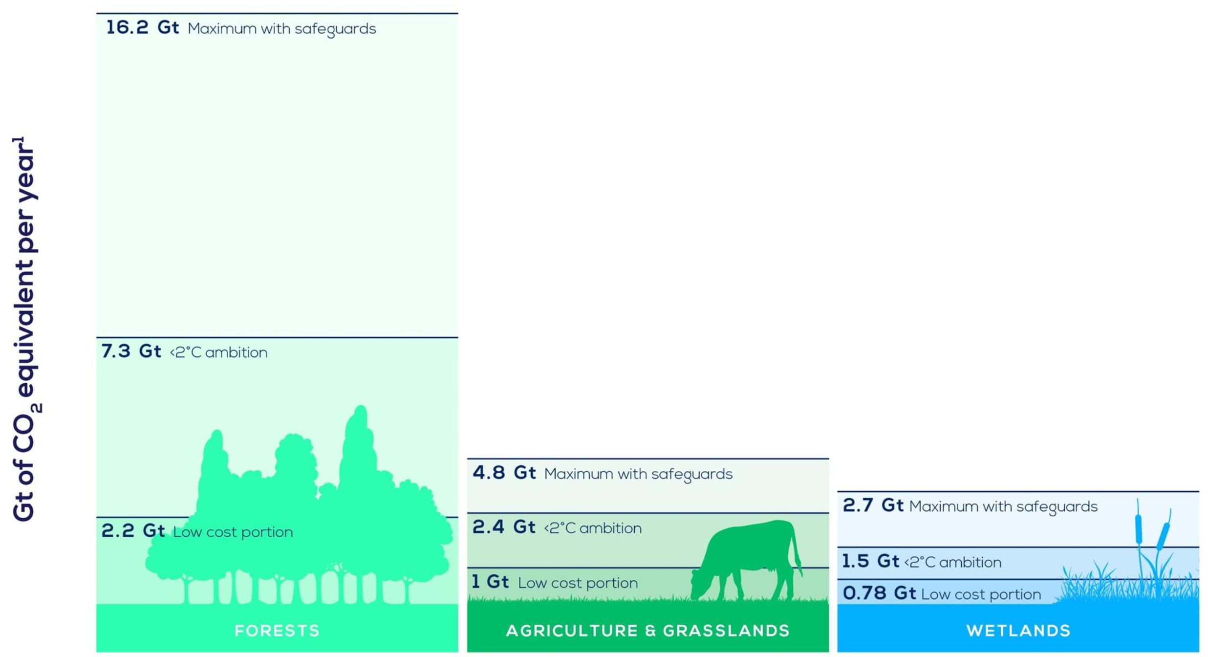
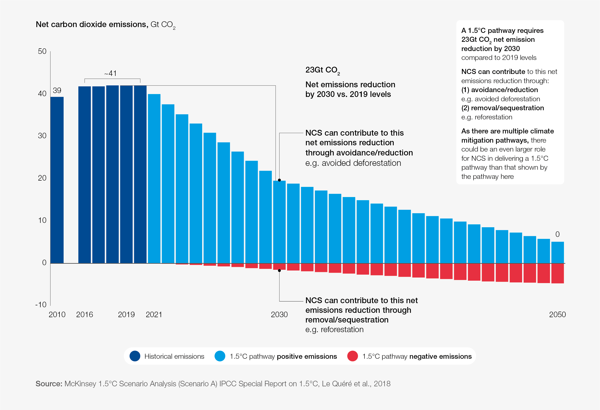
What is the World Economic Forum doing on natural climate solutions?
La Niña phenomenon is occurring as climate change increases the likelihood of extreme weather events, and risks exacerbating conditions that are already proving challenging.
Extreme events are the new norm, according to WMO Secretary-General Prof. Petteri Taalas. Extreme weather events are cited as a key risk in the World Economic Forum’s Global Risk Report.
Rising temperatures near equatorial Africa have already caused a drought in Madagascar, which the UN says is the world’s first famine caused by climate change.
“Climate change has disrupted the cycle, affecting smallholder farmers and their neighbours”, says Alice Rahmoun, World Food Programme’s Communications Officer speaking to UN News.
Meanwhile, forecasts predict wetter than normal conditions in parts of southeast Asia and northern parts of South America, according to the WMO, while the rest of South America, parts of southern Asia and the Middle East should expect unusually dry conditions into early next year.

"The cooling impact of the 2020/2021 La Nina, which is typically felt in the second half of the event, means that 2021 will be one of the 10 warmest years on record, rather than the warmest year," WMO’s Taalas said in a statement. “This is a short-lived respite and does not reverse the long-term warming trend or reduce the urgency of climate action.”
Don't miss any update on this topic
Create a free account and access your personalized content collection with our latest publications and analyses.
License and Republishing
World Economic Forum articles may be republished in accordance with the Creative Commons Attribution-NonCommercial-NoDerivatives 4.0 International Public License, and in accordance with our Terms of Use.
The views expressed in this article are those of the author alone and not the World Economic Forum.
Stay up to date:
Climate Indicators
Related topics:
Forum Stories newsletter
Bringing you weekly curated insights and analysis on the global issues that matter.


